Google Maps adds Schedules For over a 1 Million Transit Stops Globally, Adds Public Transport and city borders to Android

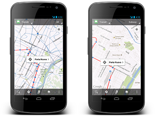
Google Maps now features public transit schedules for more than 500 cities and one million transit stops worldwide. it is also applicable on their new Android app, the updated Google Maps app now, allows users to choose which specific mode of transportation (train, bus, tram or subway) they want to see on their maps.
Also, whenever you search for a city or postal code, for example, you will now see the borders of that region. My Places feature now also makes it easier to access your saved offline maps and custom maps, and if you have Location History enabled, you can now use the app to “browse the places you’ve been on a daily basis with an updated Location History dashboard.”
Google is also supposedly working on an iOS dedicated maps app, which is a possibility, especially because Apple will use their own maps in iOS 6.


