Google Maps To Display Speed Limits

Google Maps has been constantly evolving and growing the features that it has. Very recently, they added support for Autorickshaws in India. Now, news suggests that they will add speed limits in their iOS and Android Apps.
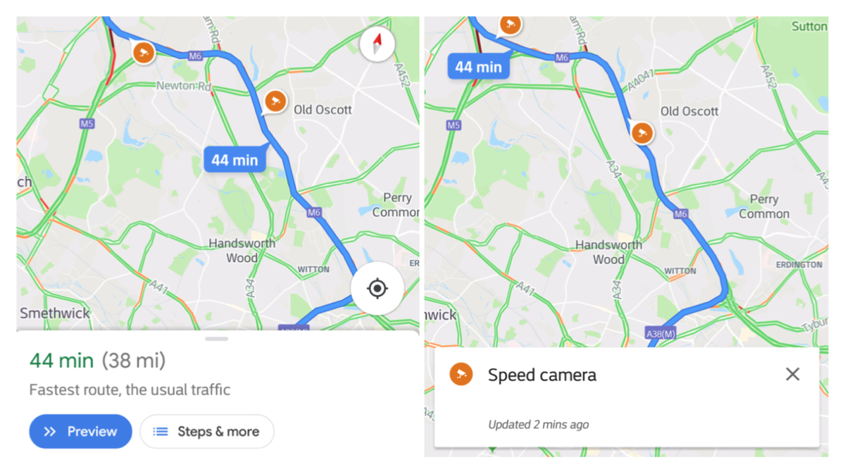
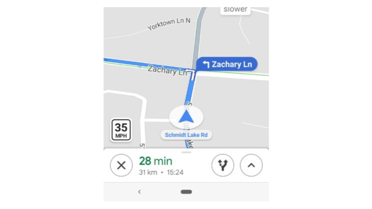
The new feature adds a badge at the bottom left of the screen while the map is open and shows the speed limit of that particular road. It also displays speed traps. Speed traps are cameras installed in various roads to catch over-speeding drivers. These traps are shows with a small camera icon at the various locations the traps are based out of.

via-Android Police
Drivers will also reportedly get an audio notification when they’re approaching a speed trap. The speed limit update is supposedly rolling out in Denmark, the United Kingdom and the United States. However the speed camera icons are rolling out to Australia, Brazil, Canada, India, Indonesia, Mexico, Russia, UK and US users. According to a report, the speed limit feature was available in San Francisco Bay Area and Rio de Janeiro, Brazil for almost a year now. Since last year, in many areas, users can report a speed trap whenever they face or spot one. This is a welcome feature for people who have cars without smart displays. Those relying on their phones for navigation can use this feature to not over- speed in low speed zones.

Also Read: Google Maps Auto Rickshaw Will Calculate Time And Price Of The Ride
A crowdsourced application called Waze had similar features which was extremely detailed. Google bought Waze in 2013 for nearly US$ 1 Billion. It seems like Google has kept it’s eye on the Maps market for a long time and is doing what the market demands. These new features will not only make the roads much safer to drive in, but also save drivers a lot of money in terms of fine for over- speeding through camera traps.


 ! For i

